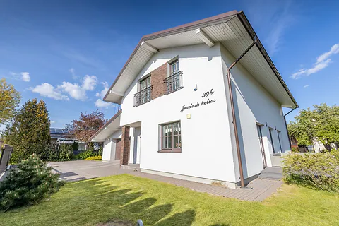
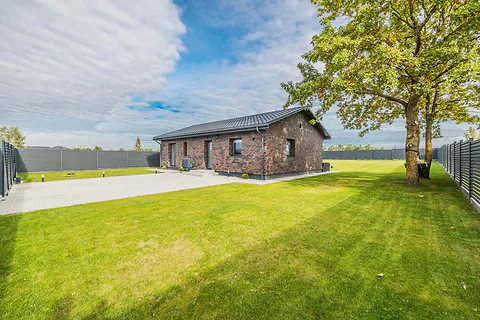
Land plot photography by drone
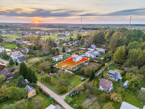
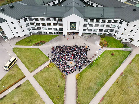
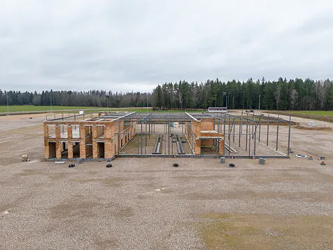
We photograph the plot by drone from several heights and mark its boundary and easements on the photo. If you need it, we make a 360° panorama or an interactive tour with hotspots, so a buyer can look around the plot themselves. From €60.


- 1We photograph
- 2We mark the boundary
- 3You get the photo
What you get and how we work.
- Photos from several heights: straight down, at an angle and from high up
- The plot boundary and easements right on the photo
- A 360° panorama the buyer turns around themselves
- An interactive tour with hotspots: the boundary, the entrance, utilities, the area
- A short aerial video, if you need one
- Photos by email the same day
A photo of a plot taken from the ground usually shows just grass. The buyer can't see the shape, the neighbors or where the plot ends, so they call to ask or skip the listing.
From the air it is clear at once. We mark the boundary and easements right on the photo, and in a 360° panorama the buyer can look around themselves.
How we mark the boundaries
We find the plot by its address or cadastral number, photograph it from the air and draw the boundary on the photo. If there are easements, such as a road or utility lines, we mark them separately.
When several plots next to each other are for sale, we mark each one separately so it is clear which is which.
What shots you need
A shot straight from above shows the shape of the plot and the neighbors. An angled shot shows the terrain and how the plot looks from the road. A shot from high up shows what is around it: the forest, the water, the road and the nearest village.
360° panoramas and interactive tours
We stitch a 360° panorama from many shots taken from the air at one spot. The buyer opens it on a phone or computer and looks around in every direction, as if standing above the plot.
In an interactive tour we add hotspots to the panorama: the plot boundary, the entrance, utilities or the area. Clicking a hotspot opens a short text or an extra photo. A tour like this is easy to add to a listing as a link or to your own website.
Homesteads and forest plots
You can't show a large plot with a homestead or forest from the ground. From the air you can see the buildings, the tracks, the pond and the edge of the forest, and the marked boundary leaves no doubt about how much land is for sale.
If there is a house on the plot, we can photograph it up close too. More on the real estate photography page.
Plots for developers
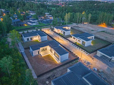
When a whole development of plots is for sale, we mark every plot and can fly again once the roads, utilities or first houses appear.
For following construction there is the construction progress page, and for other aerial work drone services.
What clients say
“I emailed them in the morning and got the link to the plot photos in the afternoon… I didn't have to drive anywhere myself.”


Frequently asked.
Do I need to come along?
Not if you don't want to. Just send us the address, the cadastral number or a point on the map. If you like, you can come along and show us what matters.
How do you know where the plot boundary is?
We find the plot on the cadastral map by its number and transfer its boundary onto the photo. If you have a plot plan, send it and we'll mark the boundary from it.
How is a 360° panorama different from a photo?
A photo shows one frame. In a 360° panorama the buyer is above the plot and turns around in every direction: they see the road, the neighbors, the forest or the water. You add the panorama to a listing or a website as a link.
What is an interactive tour?
It is a 360° panorama with hotspots. We mark the plot boundary, the entrance, utilities or another important spot on it, and clicking a hotspot opens a short text or an extra photo.
When will I get the photos?
Usually the same day as the flight. We tell you when the panorama or tour will be ready when you order.
What weather do you fly in?
Whatever you want: a sunny day, an overcast one, evening or winter. If the weather that day isn't what you wanted, we'll move the flight to a day that suits you.
How much does land plot photography cost?
From €60. The final price depends on the size of the plot, how far away it is and whether you need video, a 360° panorama or an interactive tour. Call us or fill in the form and we'll tell you the exact price within the hour.
What would it cost? We reply within an hour.
Choose what you need and leave your phone number. We will call, go over the details and tell you the price.